Licensed pilot · Cinematic aerials · ProRes RAW
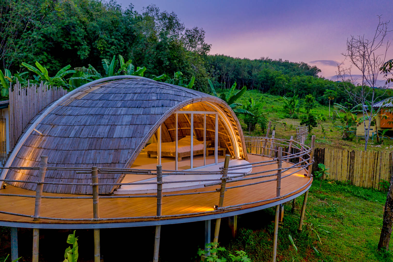
Property overview shots, neighborhood context, proximity to amenities, and elevated perspectives that give buyers the complete picture before they visit.
Regular aerial documentation of building sites for investors, developers, and marketing teams. Time-lapse sequences showing construction milestones.
High-resolution orthomosaic maps for surveying, land assessment, and architectural planning. Precise georeferenced imagery for professional use.
First-person-view drone flights that create immersive, dynamic sequences impossible with traditional drones. Fly through doors, around pools, across landscapes at high speed.
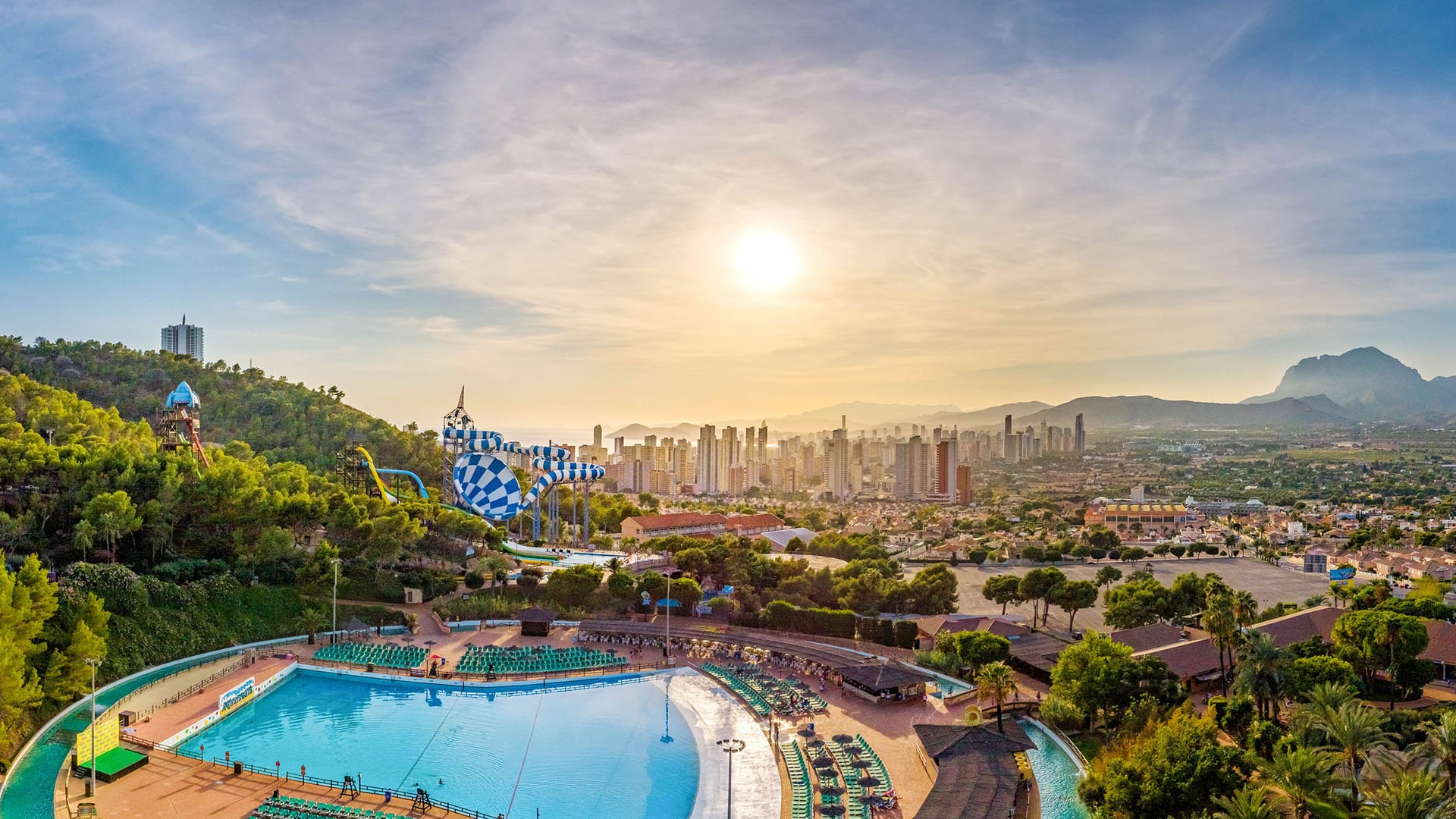
Panoramic aerials for tourism boards, resorts, and destination marketing. Golden hour and blue hour flights for maximum visual impact.
Overhead coverage of outdoor events, festivals, and sports. Dynamic tracking shots and crowd perspectives that add scale and excitement.

Airspace assessment, AESA flight plan submission, and coordination with air traffic control when needed. Risk assessment and safety briefing for the location. NOTAM checks and weather monitoring.
Equipment check, compass calibration, camera settings optimization for the light conditions. GPS signal verification and obstacle assessment. Safety perimeter establishment.
Multiple flight missions covering different altitudes, angles, and movements. ProRes RAW recording for maximum post-production flexibility. Redundant shots for safety.
Color grading, stabilization, panorama stitching, and perspective correction. Delivery of high-resolution stills, 4K+ video, and panoramic files. Typically 3-5 business days turnaround.


Licensed, insured, and experienced across 27 countries. From standard aerials to FPV cinematics, I deliver perspectives that set your project apart.